MapSwipe
Gamified AI mapping for disasters.
About MapSwipe
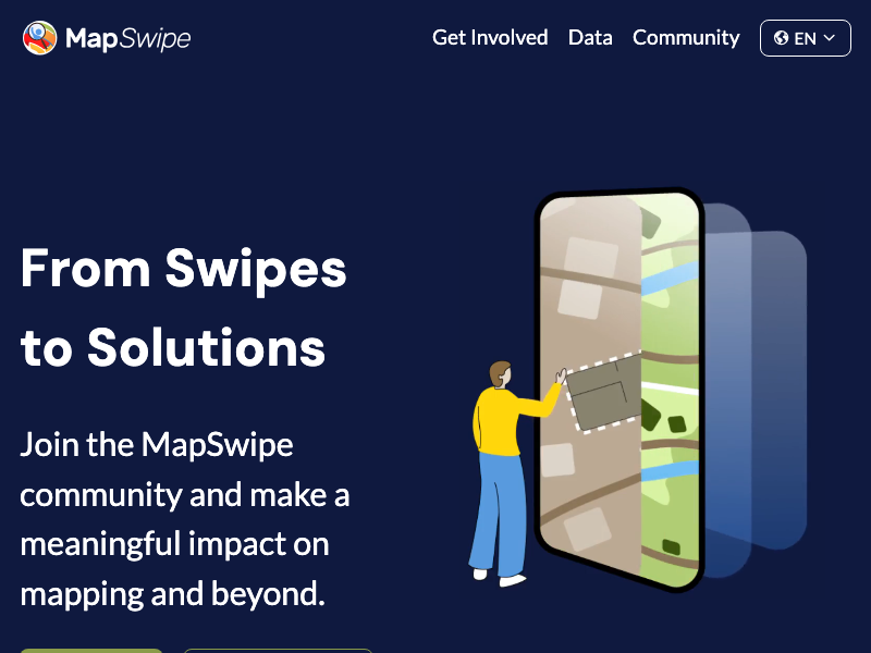
MapSwipe is a mobile application that allows anyone with a smartphone to contribute to humanitarian missions by identifying vulnerable communities in satellite imagery. Developed as part of the Missing Maps project by the Red Cross, Doctors Without Borders (MSF), and the Humanitarian OpenStreetMap Team (HOT), the app simplifies the arduous process of mapping previously unmapped areas. Users are presented with a series of satellite images and tasked with a simple "mission," such as identifying buildings, roads, or signs of habitation. By tapping and swiping, volunteers help filter out thousands of square kilometers of empty desert or forest, allowing professional mappers to focus their time only on areas where people live. This data is vital for humanitarian organizations during disaster response and disease outbreaks; for example, MSF used MapSwipe data to coordinate a measles vaccination campaign in the DR Congo. Since its launch in 2015, over 95,000 volunteers have mapped more than 1.3 million square kilometers, helping put the world's most vulnerable people on the map.
Tags
Added January 1, 2015
mapswipe.orgReport an Issue
Reporting: MapSwipe
Thank You!
Your report has been submitted. We'll review it shortly.